Proximity use case
A crucial characteristic of a real estate object is its proximity to important infrastructural elements of the urban environment.
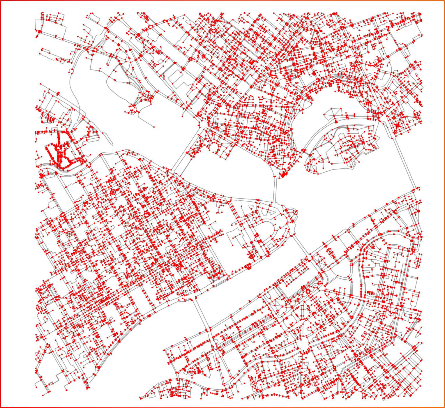
Calculation description
Proximity analysis allows finding the distance to objects, to police stations, for example.

The calculation is based on the OSM road graph. Using this graph, routes to each geographical object are created
Scripts
Three scripts have been prepared for this use case in cases folder:
- path_to_bars.py - calculate the routes to the bars using OpenStreetMap data
- path_to_parks.py - calculate the routes to the parks using OpenStreetMap data
- path_to_parks_with_quercus.py - calculate the routes to the parks (OpenStreetMap data) with Quercus robur (GBIF | Global Biodiversity Information Facility). GBIF.org (20 October 2023) GBIF Occurrence Download https://doi.org/10.15468/dl.f487j5
Related materials
In progress